Parking
See what parking costs, before you get there.
A world map where every car park carries the colour of its price. Understood at a glance.
Straight in your browser, with no account and nothing to install.
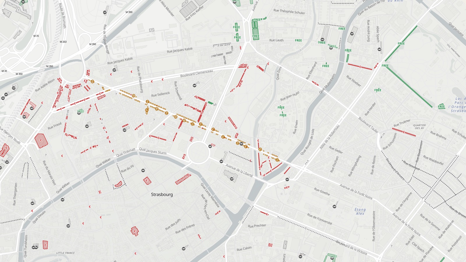
Colour tells the price.
Five states, one reading.
- Free You can park without paying.
- Free with conditions Free, but paid during some time windows or beyond a set duration.
- Paid A charge applies. When the rate is known, it is shown.
- Blue zone Free with a parking disc, for a limited time.
- Unknown The price has not been recorded yet.
Colour is never the only signal. Every state also carries its pattern and its symbol, and greyscale contrast is checked at every release. The colour blindness and high contrast palettes are free.
What the map is missing is recorded from the app.
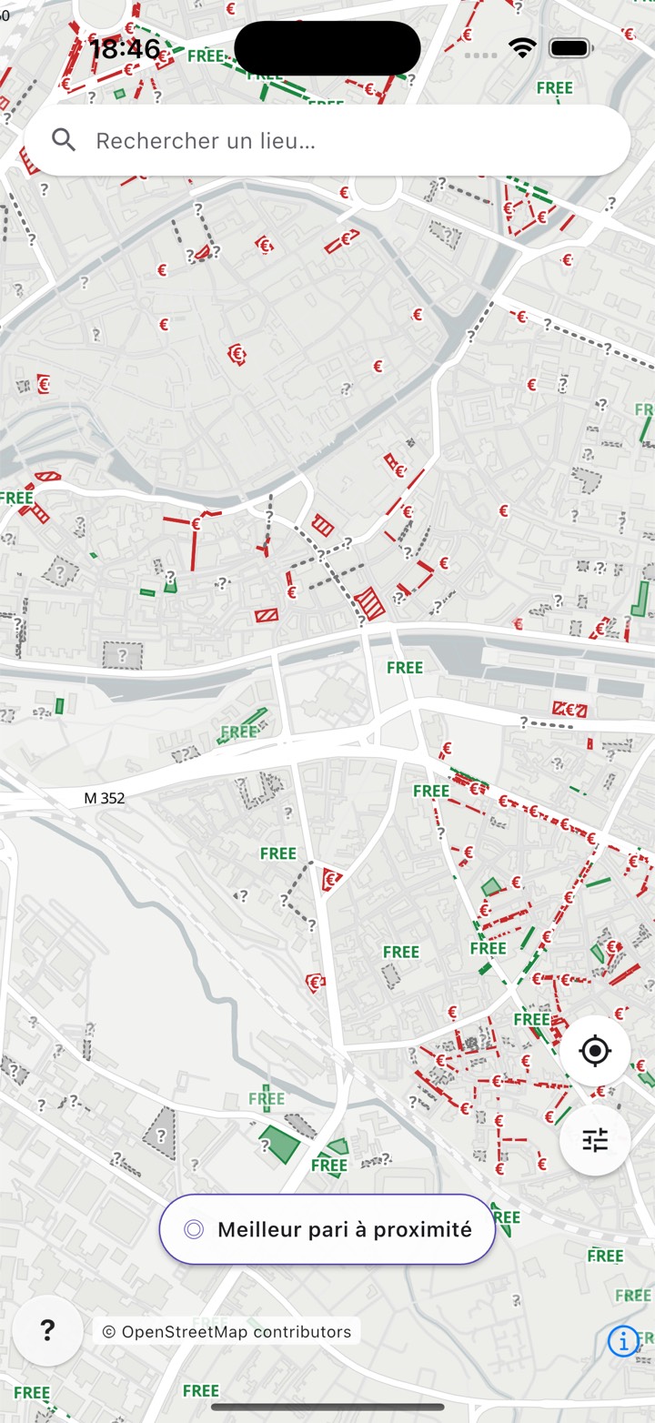
- The map shows the price where it is known, and grey says where it is not.
- Every grey car park is waiting for its first driver: one gesture in the app records the price, and the map changes for everyone.
- 2 minutes at most for a correction to appear on the map
Factual corrections made from the app are intended to be given back to OpenStreetMap.
The whole world, refreshed every night.
- 1.1 million car parks already identified as free
- 11 languages, in the app and on this site
An underground car park has no signal.
Download your region before you leave, and the map keeps working with no connection at all. Your mobile data is not used to display it.
- 469 regional packs published
- 188 countries covered offline
- 134 countries downloadable as a single pack
Offline packs are part of Atlavo Premium.
The map belongs to everyone.
The data comes from OpenStreetMap and its contributors, under the ODbL licence.
- No ads, no advertising trackers, no third party audience measurement tool.
- Your GPS position does not leave your phone, and browsing the map asks for no account. The base map, though, is loaded from OpenFreeMap, which therefore sees the area you look at.
- Passwordless sign in, with a login link sent by email.
Atlavo Premium
€7.99 a year, or €0.99 a month.
Reference price for France. The amount shown depends on the store of your country.
- Take the map with you Maps and data download region by region, so you can drive with no network.
- Filter more finely Maximum vehicle height, walking time, minimum capacity, and five more criteria.
The map, search, contributions and accessibility palettes stay free, with or without a subscription.
All it takes is an account, signed in by e-mail.
Credits
Base map and data © OpenStreetMap contributors, under the ODbL licence. Map rendering by OpenFreeMap and OpenMapTiles.
OpenStreetMap ODbL Open data and attribution Support Android